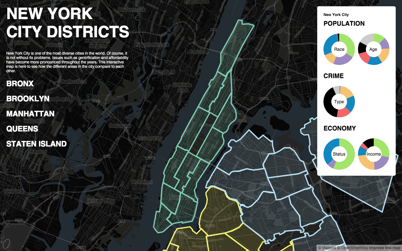
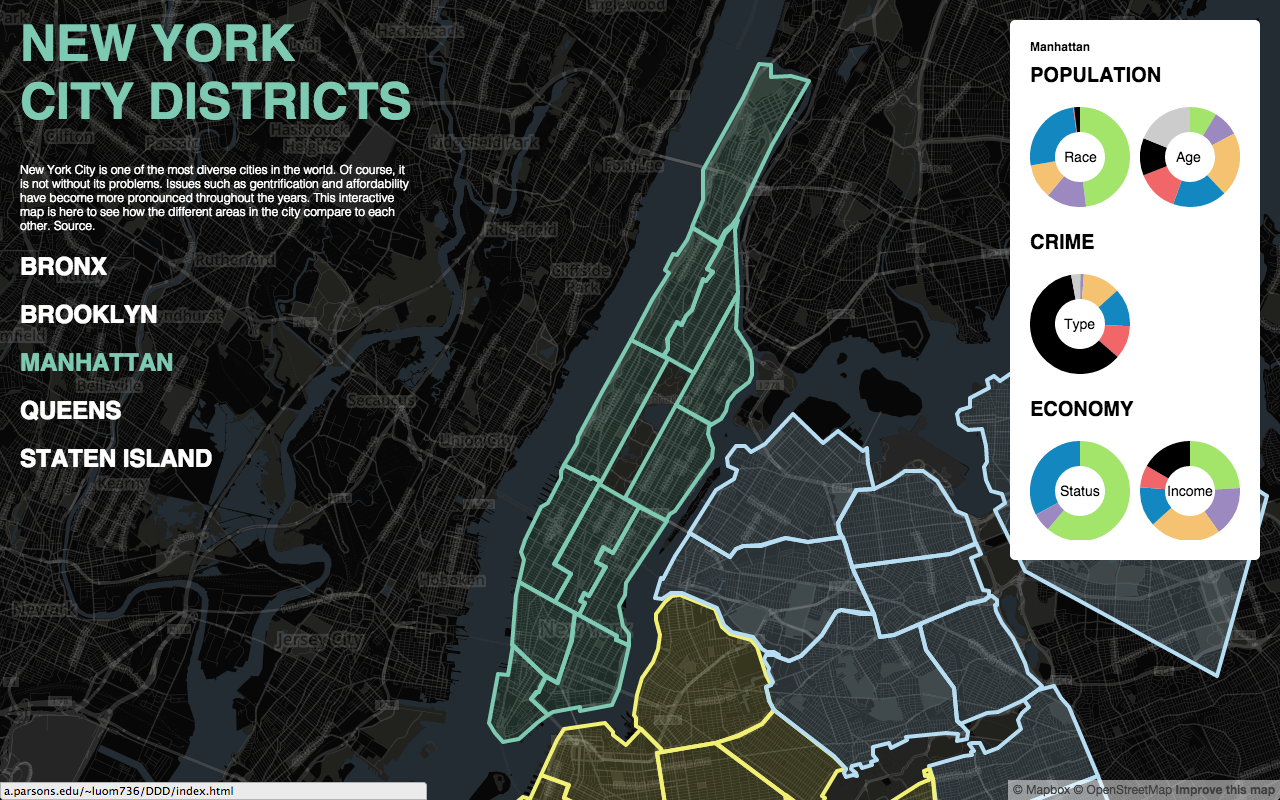
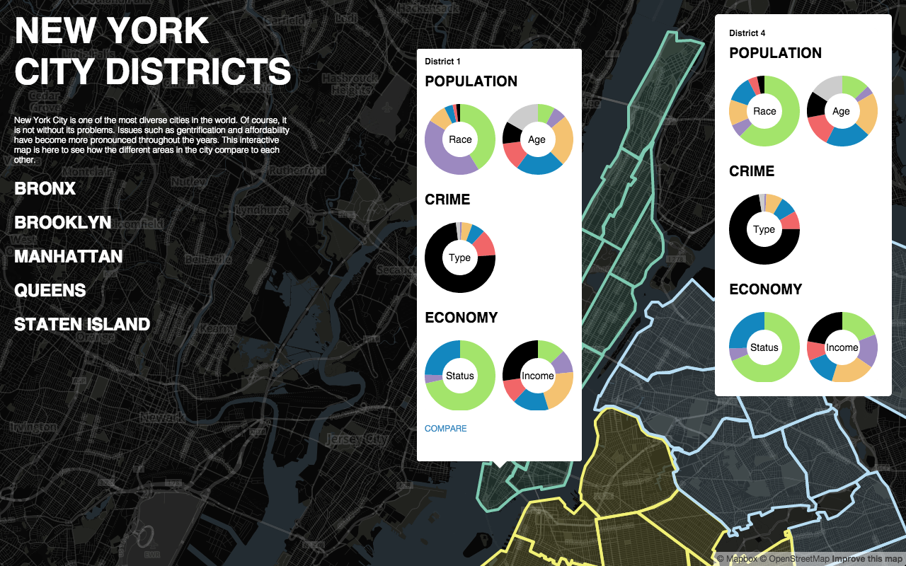
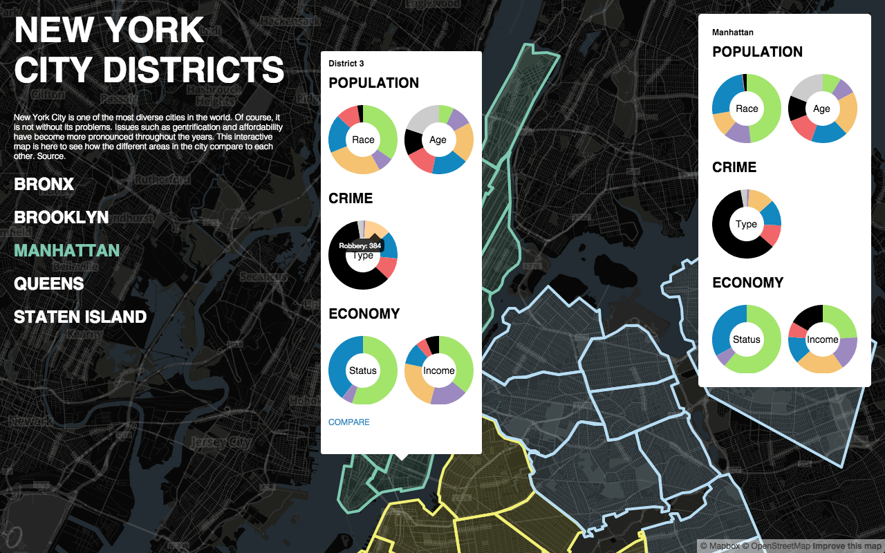
For the final assignment, I made an interactive map of New York City (Manhattan only for now). I have lived in the city for all my life but in the more recent years I have heard about issues with rising property costs and affordability as well as gentrification. People have started to believe that it will ruin how diverse the city can be by pushing out the people who cannot afford to live here such as budding artists. I wanted this map to show the makeup of each district to see how they compare to each other. I got most of my information from the nyc.gov site. There is a lot more information available on each district that I may want to include in the future (such as type of housing residents live in, type of jobs they have, how they commute to work, how large the families are, etc.) but for now I only included the most general information.
I used Mapbox to make the make the interactive map and then used HTML, CSS, and JQuery to make the rest of the site. The most difficult part of the project was trying the make the Mapbox program listen to commands from my site so that I could go into the map and connect it to the links on my site. Also, drawing out the districts on the map was the most time consuming. It took forever to make sure the district lines were being drawn on the right streets. Mapbox only has general areas drawn out such as the states borders and country borders.
Site: New York City Districts